
Satellite Images Reveal Dhaka's Rapid Urban Expansion
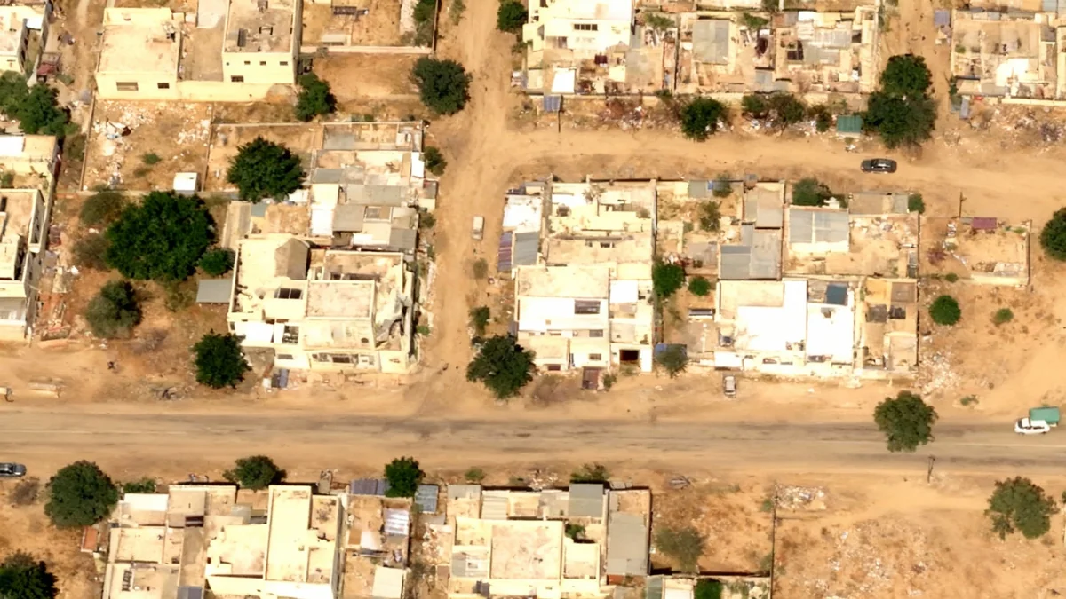
New satellite imagery from the European Space Agency reveals the dramatic scale of urban expansion in Dhaka, Bangladesh, over the past decade.

#Dhaka#Urban Development#Satellite Imagery
13 articles tagged
New satellite imagery from the European Space Agency reveals the dramatic scale of urban expansion in Dhaka, Bangladesh, over the past decade.

New high-resolution satellite imagery from the European Space Agency reveals extensive deforestation in the Brazilian Amazon, providing critical data ahead of the COP30 climate conference.

A satellite has captured a stunning image of a 'ghostly face' in the Australian outback, formed after heavy rains filled the normally dry Lake Carnegie.
High-resolution satellite imagery analyzed by Yale University reveals evidence of mass killings in El-Fasher, Sudan, with pools of blood visible from space.

The U.S. National Geospatial-Intelligence Agency has awarded Planet Labs a $12.8 million contract to provide AI-driven maritime surveillance in the Asia-Pacific region.
Satellites now capture detailed images of autumn leaf color changes from space, providing insights into forest health and the science behind this seasonal shift.

Satellite images from 1987 and 2024 show the dramatic retreat of major glaciers in Chile, highlighting the rapid impact of climate change on the region.

A European satellite captured detailed images of Tropical Cyclone Errol, which rapidly grew into a Category 5 storm with 285 km/h winds off Australia's coast.

The joint NASA-ISRO NISAR satellite has sent back its first high-detail radar images, showcasing landscapes in Maine and North Dakota.

A Copernicus Sentinel-2 satellite has captured a detailed image of a 2.5-kilometer lava lake at Hawaii's Kilauea volcano, revealing ongoing eruptive activity.

Maxar Technologies' two businesses, formed after its 2023 acquisition, have been rebranded. Maxar Intelligence is now Vantor and Maxar Space Systems is Lanteris.

NOAA's GOES-19 weather satellite captured a unique view of the September 2025 partial solar eclipse from its orbit 22,236 miles above Earth.