


The NASA-ISRO Synthetic Aperture Radar (NISAR) satellite, a joint project between the United States and India, has transmitted its first radar images back to Earth. The initial data provides a detailed look at landscapes in Maine and North Dakota, showcasing the satellite's powerful Earth-observation capabilities before it begins full operations.
Launched on July 30, the mission is designed to systematically map our planet, providing critical data on climate change, natural disasters, and resource management. These first images serve as a successful test of the satellite's advanced instrumentation.
Key Takeaways
- The NISAR satellite, a collaboration between NASA and the Indian Space Research Organisation (ISRO), has returned its first radar images.
- The initial images captured detailed views of Maine's coast and a region in northeastern North Dakota in August.
- NISAR is equipped with two types of radar to monitor changes in Earth's land and ice surfaces with high precision.
- The satellite will enter its full science phase in November and is expected to map the entire planet twice every 12 days.
The NISAR Mission Explained
The NISAR mission represents a significant partnership between NASA and the Indian Space Research Organisation (ISRO). The name itself is an acronym, standing for NASA-ISRO Synthetic Aperture Radar. The primary objective is to conduct a comprehensive survey of Earth's surfaces, measuring subtle changes with unprecedented detail.
Scientists will use this data to better understand complex planetary processes. These include the dynamics of ice sheets, the effects of rising sea levels, and the behavior of ecosystems. The information gathered will have practical applications, aiding in agricultural management and improving response strategies for natural disasters like earthquakes, tsunamis, and volcanic eruptions.
A Global Partnership for Earth Science
The collaboration on the NISAR mission involves distinct contributions from both space agencies. NASA's Jet Propulsion Laboratory provided the L-band radar system, while ISRO contributed the S-band radar system. This international effort combines expertise and resources to create one of the most advanced Earth-observing satellites ever built.
According to NASA, the data from NISAR will help decision-makers create more effective plans for managing infrastructure and responding to emergencies. The mission aims to provide a reliable, consistent stream of information about our changing planet for years to come.
A Detailed Look at the First Images
In a press release, NASA shared two initial images that demonstrate the satellite's capabilities. These images act as a preview of the high-resolution data the observatory will collect once it becomes fully operational in 2025.
"NISAR’s first images are a testament to what can be achieved when we unite around a shared vision of innovation and discovery,” acting NASA Administrator Sean Duffy said in a statement.
Maine's Coastline from Orbit
The first image, captured on August 21, shows Mount Desert Island off the coast of Maine. This area is famously home to Acadia National Park. The radar image uses a color-coded system to represent different surface types.
In the image, dark areas signify water, while green areas correspond to forests. Patches of magenta indicate hard surfaces, such as bare ground or buildings. A prominent magenta area on the island's northeast end clearly identifies the town of Bar Harbor. This level of detail highlights the satellite's ability to distinguish between natural and man-made structures.
Surveying North Dakota's Landscape
Two days later, on August 23, NISAR captured its second image, focusing on a section of northeastern North Dakota. This image covers parts of Grand Forks and Walsh counties, revealing a mix of natural and agricultural landscapes.
The Forest River is visible passing through the center of the frame, bordered by forests and wetlands. To the north and south, the land is dominated by farming. The radar data distinguishes between different agricultural states: dark spots show fallow fields, while lighter colors represent pastures or fields with active crops.
The Technology Behind the Images
The remarkable detail in these images is made possible by sophisticated radar instruments. The satellite is equipped with two separate systems that work together to gather comprehensive data.
Precision from 464 Miles Up
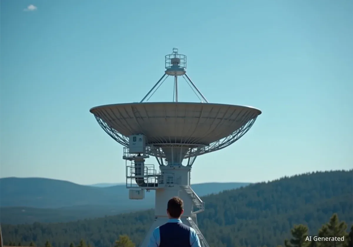
NISAR orbits the Earth at an altitude of 464 miles (747 kilometers). From this vantage point, its massive 39-foot-wide antenna reflector collects radar signals, enabling it to detect surface changes as small as half an inch.
The initial images from Maine and North Dakota were generated using the L-band Synthetic Aperture Radar (SAR) system. This instrument, provided by NASA, uses a 10-inch wavelength signal. Its longer wavelength allows it to penetrate clouds and vegetation, capturing data about the ground surface below. It can resolve objects as small as 15 feet across.
The mission also includes an S-band radar, which was provided by ISRO. This system uses a shorter 4-inch microwave signal, making it particularly effective for observing smaller vegetation and monitoring crop health. The combination of both radar bands provides a more complete picture of Earth's surface than either could alone.
Mission Timeline and Future Operations
The release of the first images marks a key milestone for the NISAR mission. Following its launch on July 30, the satellite spent several weeks undergoing initial checkouts and maneuvers. In mid-September, it was successfully raised to its final operational orbit of 464 miles.
The next major step is the beginning of its official science phase, which is scheduled for November. Once fully operational, NISAR will follow a precise orbital path that allows it to monitor Earth’s land and ice surfaces twice every 12 days. This regular, repeating observation cycle is crucial for tracking changes over time.
The mission is planned to last for several years, building an extensive and detailed dataset of the entire planet. This information will be made freely available to scientists, researchers, and the public, fostering new discoveries about how our world works.
"This is only the beginning," Duffy added. "NASA will continue to build upon the incredible scientific advancements of the past and present as we pursue our goal to maintain our nation’s space dominance through Gold Standard Science.”
With its advanced technology and ambitious goals, the NISAR mission is set to become a vital tool for monitoring the health of our planet for the foreseeable future.