
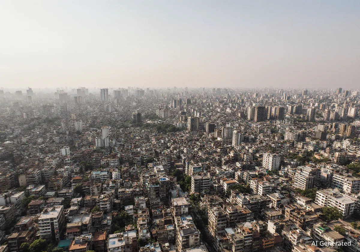


New satellite imagery from the European Space Agency (ESA) provides a stark visual record of Dhaka's rapid urban expansion over the last decade. The data shows the Bangladeshi capital, now home to over 36 million people, absorbing surrounding agricultural lands and wetlands at an accelerated pace, highlighting the challenges of managing one of South Asia's fastest-growing metropolitan regions.
Key Takeaways
- Satellite data from ESA's Copernicus Sentinel-2 mission shows significant urban growth in Dhaka between 2017 and recent years.
- The city's built-up areas have expanded into former farmlands and natural wetlands, visible through false-color imaging.
- Dhaka's population has surpassed 36 million, making it one of the most densely populated and fastest-growing urban centers in the world.
- The expansion puts pressure on natural resources, including the complex river systems that define the region's geography.
A View from Orbit
Data captured by the Copernicus Sentinel-2 satellite offers a unique perspective on the dramatic changes transforming the landscape around Dhaka. By comparing images taken nearly a decade apart, the scale of urban development becomes clear. The satellite uses a near-infrared channel to process the images, creating a false-color view that makes landscape changes easy to identify.
In this specialized view, lush vegetation appears in vibrant red, water bodies are shown in dark blue and black, and urbanized, built-up areas are depicted in various shades of grey. A comparison of images from 2017 to the present day reveals a significant reduction in the red-toned areas surrounding the city center, replaced by an expanding grey footprint.
This visual evidence confirms that areas once characterized by agriculture and natural greenery have been converted into residential and commercial zones. The duller tones in the more recent images indicate extensive construction, soil exposure, and the sealing of surfaces with concrete and asphalt.
By the Numbers
Dhaka's metropolitan population is estimated to be over 36 million people, positioning it as one of the most populous urban agglomerations globally. This rapid population growth is a primary driver of its physical expansion.
The Geographical Context
Dhaka is situated on a low-lying floodplain, a landscape intricately shaped by a network of rivers. The city itself is crossed by three main rivers: the Dhaleswari, the Buriganga, and the Sitalakhya. This urban core is part of a much larger and dynamic hydrological system.
The entire region is bounded by the confluence of several major rivers. To the west lies the Padma River, which is the local name for the lower section of the Ganges. To the northwest, the vast Jamuna River—the main distributary of the Brahmaputra—flows southward. To the east, the Meghna River completes this powerful trio.
These rivers converge before flowing into the Bay of Bengal, creating a delta that is constantly reshaped by monsoon-driven sedimentation and hydrological shifts. The satellite images show noticeable changes in the shape and width of these river systems, particularly where the Padma and Meghna rivers meet. Light-colored patches visible along the riverbanks indicate areas of dry, exposed riverbeds, a sign of the ever-changing water flow.
About Copernicus Sentinel-2
The Copernicus Sentinel-2 mission, managed by the European Space Agency, is designed for land monitoring. Its high-resolution, multispectral imaging capabilities allow scientists and planners to track changes in land use, monitor vegetation health, and observe water bodies. This data is crucial for urban planning, agricultural management, and disaster response.
Implications of Unchecked Growth
The rapid, often unplanned, expansion of Dhaka presents significant challenges for urban planners and policymakers. As the city sprawls outward, it consumes finite resources, including fertile agricultural land that is vital for food security in a densely populated country like Bangladesh.
The conversion of wetlands and green spaces also has environmental consequences. These areas play a crucial role in water drainage, flood mitigation, and maintaining local biodiversity. Their loss can exacerbate flooding during the monsoon season and contribute to the urban heat island effect, where cities become significantly warmer than surrounding rural areas.
Managing this growth requires a delicate balance between providing housing and infrastructure for a growing population and preserving the natural ecosystems that sustain the region. The data provided by satellites like Sentinel-2 is an essential tool for decision-makers, offering a clear and accurate overview of land-use changes over time.
The ability to monitor urban growth accurately provides essential information to urban planners and decision-makers, helping to address the challenges of population density and pressure on urban and agricultural land.
The Role of Earth Observation
The challenges faced by Dhaka are common to many megacities across the globe. As urban populations continue to grow, the need for sustainable urban planning becomes more urgent than ever. Earth observation technology provides a powerful means to understand and manage these complex dynamics.
By regularly monitoring urban sprawl, authorities can better plan for infrastructure development, protect critical environmental zones, and promote more sustainable land-use policies. For cities like Dhaka, located in a dynamic and vulnerable river delta, this oversight is not just beneficial—it is essential for building a resilient future.
The ongoing mission of satellites in orbit ensures that a watchful eye remains on our planet's changing surface, providing the data needed to navigate the pressures of a rapidly urbanizing world.