

A new method developed by university researchers allows for the detection of tiny, hazardous space debris by capturing the radio signals emitted when these fragments collide in orbit. This breakthrough could provide a way to track millions of pieces of space junk that are currently too small to be monitored by existing systems.
The research, funded by a U.S. intelligence agency, aims to create a real-time map of orbital hazards, potentially leading to a “debris weather” forecast system that could warn satellite operators of increased collision risks in specific orbits.
Key Takeaways
- Researchers have found that hypervelocity collisions of space debris generate detectable radio bursts.
- This method can identify debris fragments that are too small for current radar and optical tracking.
- The project is funded by the Intelligence Advanced Research Projects Activity (IARPA) to enhance space situational awareness.
- The ultimate goal is to create a warning system, similar to a weather forecast, for satellite operators to avoid hazardous zones.
The Growing Threat of Untrackable Debris
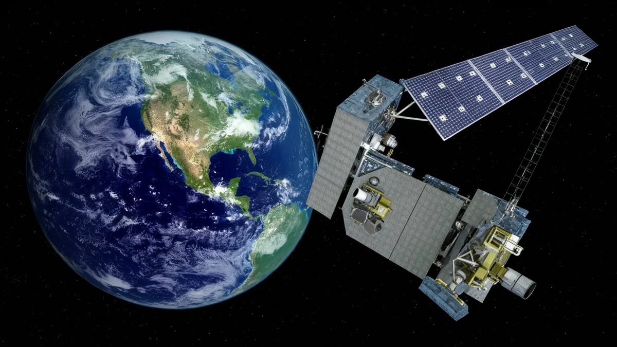
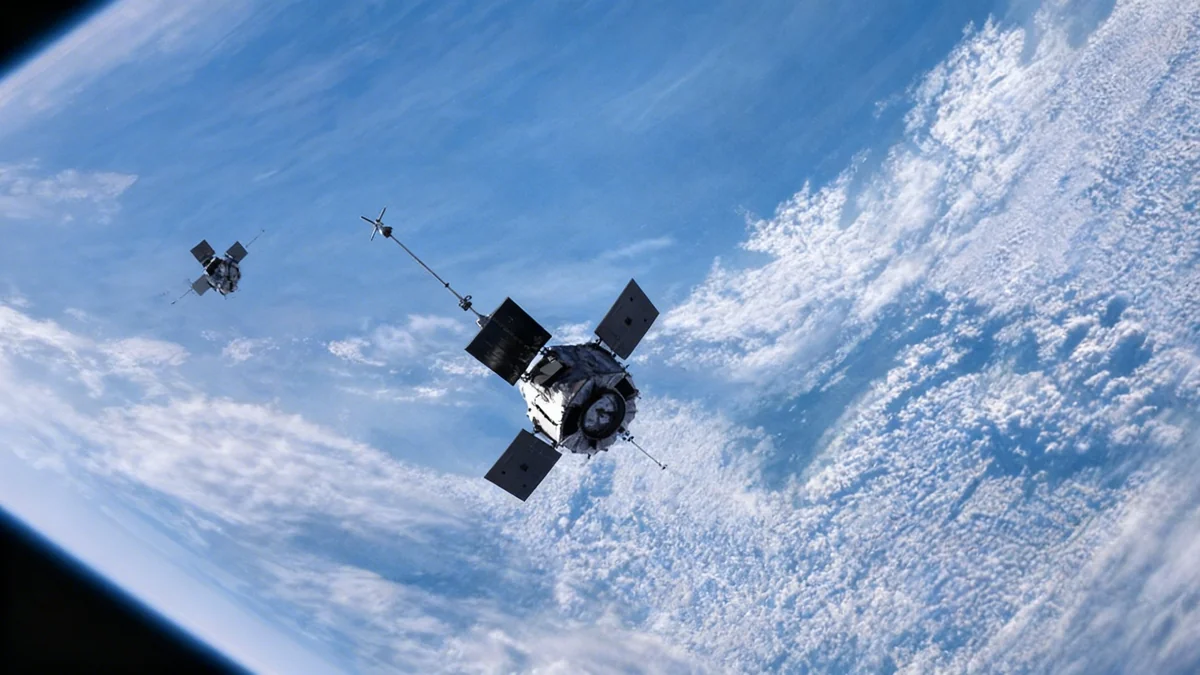
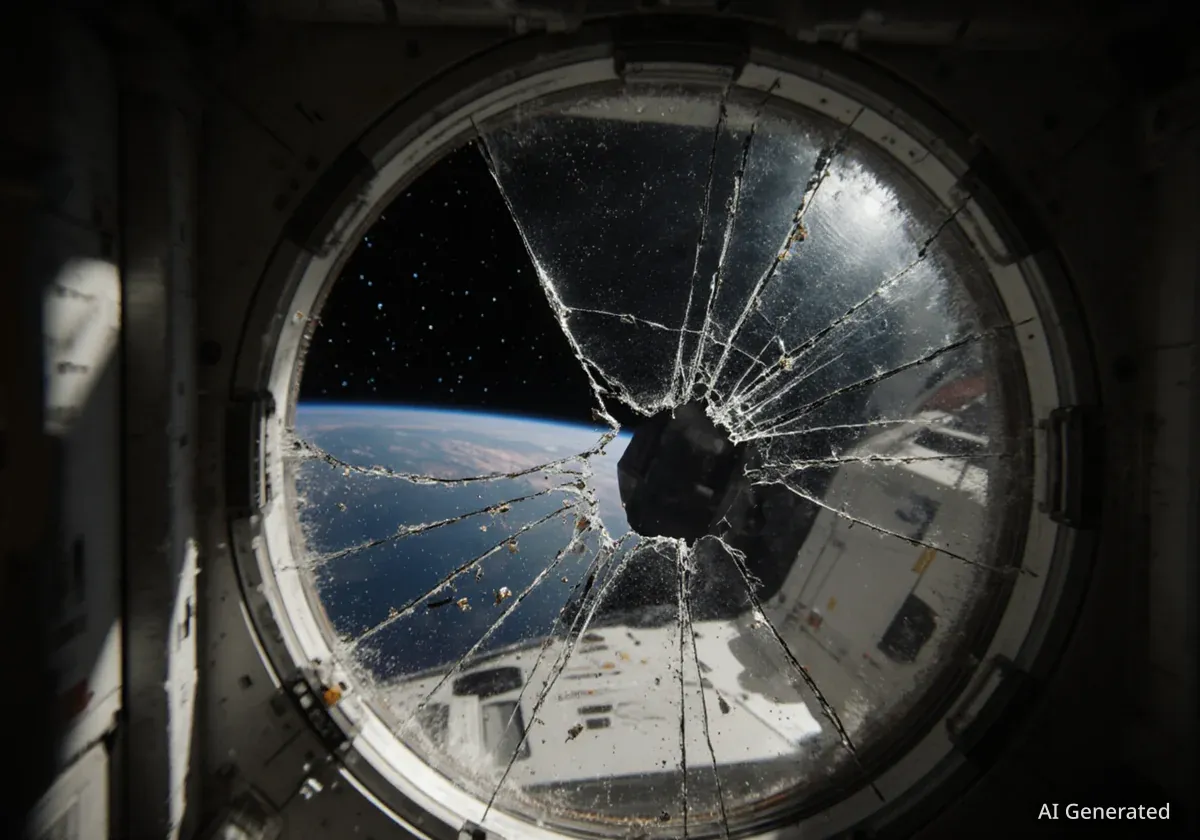
Low Earth orbit is becoming increasingly crowded, not just with active satellites but with millions of pieces of defunct hardware and fragments from past collisions. While large objects can be tracked, the vast majority of this debris is too small to see with current technology but travels at speeds high enough to cause catastrophic damage to operational spacecraft.
“The vast majority of space debris are too small to see with current systems, but still energetic enough to pose serious hazards to functioning satellites,” said Yun Zhang, an assistant research scientist at the University of Michigan’s Department of Climate and Space Sciences and Engineering.
Understanding the Kessler Syndrome
This research directly addresses the risk of the Kessler syndrome, a theoretical scenario where the density of objects in low Earth orbit becomes so high that collisions between objects cause a cascade. Each collision generates more space debris, which in turn increases the likelihood of further collisions, potentially rendering near-Earth space unusable for future generations.
This new detection method offers a way to monitor the density of these small fragments and potentially provide an early warning if a particular orbital region is approaching a critical tipping point.
Listening for the Flash of a Collision
The innovative technique, led by Professor Nilton Rennó of the University of Michigan, focuses on the physical effects of objects colliding at extreme speeds. When two pieces of debris, or a piece of debris and a meteoroid, impact at hypervelocity—a speed greater than the speed of sound within the material—they generate a brief but powerful burst of electromagnetic radiation.
These radio signals can be detected by sensitive instruments on the ground, such as the large antennas of the Deep Space Network (DSN), as well as by sensors on satellites already in orbit. By capturing these signals, scientists can pinpoint where collisions are happening even if they can't see the individual pieces of debris themselves.
“Our method uses the electromagnetic signals from debris collisions to reveal the distribution of these tiny fragments that would otherwise be impossible to find,” Zhang explained.
He compared the process to trying to find an unlit match in a dark room. “You know it’s there, but you can’t see it. The moment you strike the match, the flame makes it obvious. In the same way, the collision-generated signals briefly ‘light up’ the tiny debris in the sky so we can detect them remotely.”
From Research to Real-World Application
The project, now in its third year, is supported by the Intelligence Advanced Research Projects Activity’s (IARPA) Space Debris Identification and Tracking (SINTRA) program. IARPA is the research and development arm of the Office of the Director of National Intelligence, highlighting the national security implications of orbital debris.
To validate their findings, the team is analyzing data from multiple sources. They are conducting new measurements in collaboration with the Jet Propulsion Laboratory using the Deep Space Network. They are also using data gathered by a radio frequency sensor aboard the U.S. Department of Defense’s STPSat-6 satellite, which has been in geostationary orbit since late 2021.
Fact: There are an estimated 100 million pieces of orbital debris larger than 1 millimeter, with most being too small to track. Even a fragment of this size can damage sensitive satellite components due to its high orbital velocity.
According to Rennó, the team is now focused on maturing the concept and making it a practical tool for potential users. The goal is to transition from academic research to an operational system that can be integrated into existing space traffic management frameworks.
A 'Debris Weather' Forecast for Space
The most significant potential application of this technology is the creation of a dynamic map of orbital hazards. By mapping the frequency and location of small-debris collisions, researchers can identify orbital paths that are becoming unusually dangerous.
“We may be able to form a kind of real-time diagnostic of Earth’s orbital environment and issue ‘debris weather’ alerts to warn satellite operators when certain orbits are becoming unusually hazardous,” said Zhang.
Such a system would be a game-changer for satellite operators, who currently rely on tracking data for larger objects and statistical models for smaller ones. A debris weather alert could provide actionable intelligence, allowing companies and agencies to delay launches or temporarily maneuver high-value assets to safer altitudes.
By making this invisible threat visible, this research offers a new tool in the effort to maintain a safe and usable orbital environment. As Zhang noted, it gives us “a much better chance of keeping that environment usable for future generations.”