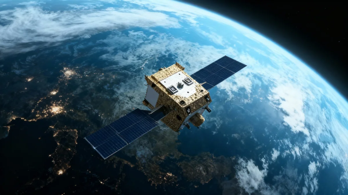
Pakistan has successfully launched its first-ever hyperspectral satellite, named H1, marking a significant development in its national space program. The satellite was sent into orbit from the Jiuquan Satellite Launch Centre in northwestern China, a mission that underscores the close technological partnership between the two nations.
The new satellite is designed to provide high-resolution data for a range of national applications, including environmental monitoring, agricultural management, and urban planning. According to Pakistan's space agency, SUPARCO, the technology will enhance the country's ability to manage natural resources and respond to disasters.
Key Takeaways
- Pakistan launched its first hyperspectral satellite, H1, from a launch center in China.
- The satellite will be used for environmental monitoring, agriculture, urban planning, and disaster management.
- This mission is part of a broader push to advance Pakistan's space program and is its third satellite launch this year.
- The launch highlights the ongoing strategic partnership in space exploration between Pakistan and China.
A Milestone for Pakistan's Space Program
The successful deployment of the H1 satellite represents a major achievement for the Space and Upper Atmosphere Research Commission (SUPARCO), Pakistan's national space agency. This launch is part of a renewed effort to expand the country's space capabilities. According to official statements, H1 is the third satellite Pakistan has placed into orbit this year.
The other two satellites, identified as EO-1 and KS-1, are already fully operational. The addition of H1 introduces a new level of observational technology to the nation's assets in space. Before it becomes fully operational, the H1 satellite will undergo a calibration period expected to last approximately two months, a standard procedure to ensure all systems are functioning correctly.
What is SUPARCO?
The Space and Upper Atmosphere Research Commission (SUPARCO) is Pakistan's national space agency, established in 1961. It is responsible for the country's public and civil space program and for aeronautics and aerospace research. The launch of H1 is a key part of its long-term strategic goals.
Understanding Hyperspectral Imaging Technology
Hyperspectral satellites like H1 offer advanced observational capabilities compared to traditional satellites. While standard satellites typically capture images in a few broad bands of light (like red, green, and blue), hyperspectral sensors collect data across hundreds of narrow, contiguous spectral bands.
This technology allows scientists to analyze the unique spectral signature of different materials on the Earth's surface. Essentially, it can identify the chemical or material composition of objects on the ground. This makes it possible to detect subtle changes that are invisible to the human eye or conventional satellite cameras.
Advanced Detection Capabilities
Hyperspectral imaging can differentiate between healthy and stressed vegetation, identify specific types of minerals, detect pollutants in water, and map soil composition with high accuracy. This level of detail is critical for precision applications in various fields.
How It Differs From Multispectral Imaging
Most Earth observation satellites use multispectral imaging, which captures data in about 3 to 10 separate spectral bands. Hyperspectral imaging, in contrast, can capture data in hundreds of bands. This continuous spectrum provides a much richer dataset, enabling more detailed analysis and identification of materials on the ground.
National Applications and Strategic Impact
The data from the H1 satellite is expected to have a transformative impact on several key sectors in Pakistan. Pakistan's Ministry of Foreign Affairs stated that the technology will "significantly enhance national capacities" across multiple domains.
Key Areas of Application:
- Precision Agriculture: Farmers and policymakers can use the data to monitor crop health, detect disease or pest infestations early, and optimize the use of water and fertilizers. This could lead to increased agricultural productivity.
- Environmental Monitoring: The satellite will help track deforestation, monitor water quality in rivers and lakes, and assess the impact of climate change on natural ecosystems.
- Disaster Management: H1 can provide critical information for assessing damage after natural disasters like floods, earthquakes, and landslides, enabling more effective emergency response and recovery efforts.
- Urban Planning: The detailed imagery will assist in managing urban growth, monitoring infrastructure development, and planning for sustainable city expansion.
"The data from the Hyperspectral Satellite is poised to revolutionise agricultural productivity, bolster climate resilience, and enable optimised management of the country’s vital natural resources."
The satellite's capabilities will also support major infrastructure projects. Officials noted its ability to pinpoint geohazard risks will be valuable for initiatives like the China-Pakistan Economic Corridor (CPEC), a collection of infrastructure projects intended to link China’s Xinjiang province with Pakistan’s Gwadar Port.
A Symbol of Pakistan-China Cooperation
The launch of H1 is not just a technological achievement but also a reflection of the deep-rooted strategic partnership between Pakistan and China. The two countries have a long history of collaboration in various fields, including the peaceful exploration and use of outer space.
In a formal statement, Pakistan's Foreign Ministry described the mission as a testament to this enduring relationship.
"The mission reflects the ever-growing strategic partnership and deep-rooted friendship between the two nations, who continue to cooperate in advancing peaceful space exploration and harnessing its benefits for socioeconomic development."
This collaboration provides Pakistan with access to advanced launch facilities and technological expertise, accelerating the growth of its domestic space program. For China, it represents a key element of its space diplomacy and its broader strategic alliances in the region. The successful launch of H1 is viewed by both nations as a mutually beneficial step forward in their shared goals for technological advancement and regional development.

