
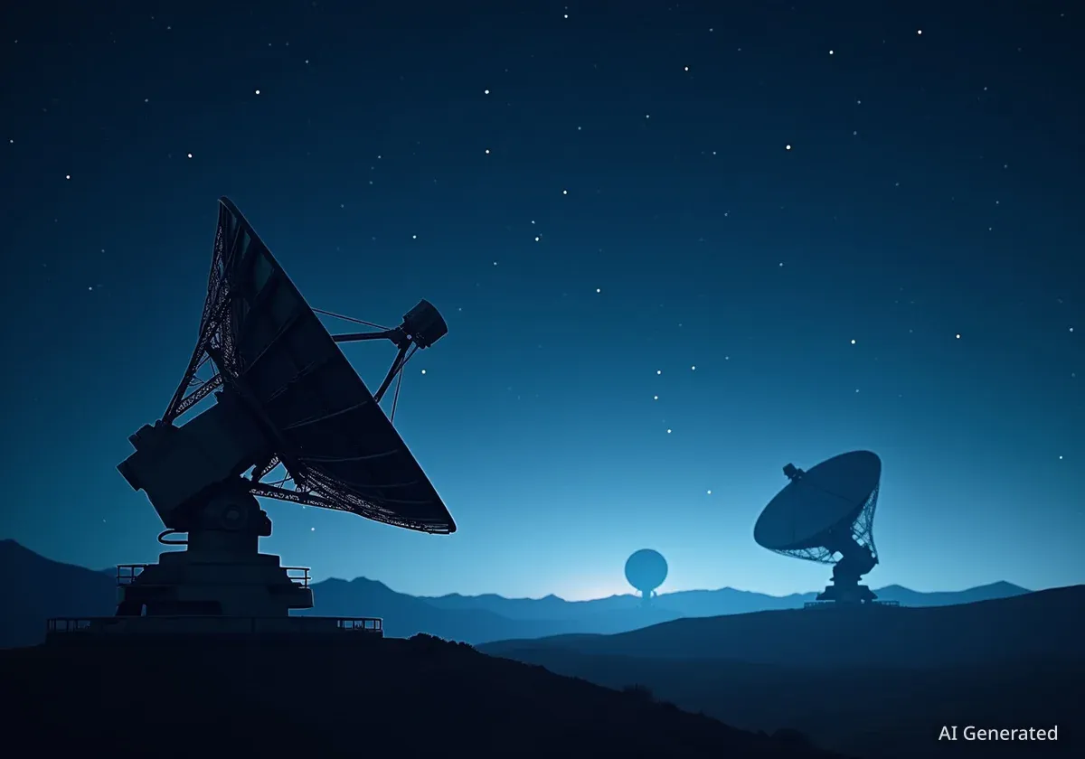


The National Oceanic and Atmospheric Administration (NOAA) successfully launched a new satellite on September 24, 2025, designed to significantly advance space weather forecasting. The Space Weather Follow On-Lagrange 1 (SWFO-L1) observatory began its journey from Kennedy Space Center in Florida, marking a critical step in protecting Earth's vital infrastructure from solar events.
The satellite, which lifted off aboard a SpaceX Falcon 9 rocket at 7:30 a.m. EDT, is now on a four-month trip to a stable observation point one million miles from Earth. Once operational, it will provide continuous, real-time data on solar wind and detect potentially hazardous solar storms before they reach our planet.
Key Takeaways
- NOAA's SWFO-L1 satellite launched successfully on September 24, 2025, to monitor space weather.
- The observatory is traveling to Lagrange point 1 (L1), a location one million miles from Earth.
- It will provide early warnings for solar events like coronal mass ejections (CMEs) that can disrupt power grids, GPS, and communications.
- The mission is a collaboration between NOAA and NASA, utilizing a cost-saving rideshare launch with other scientific instruments.
- The satellite is expected to become fully operational in mid-2026.
The Journey to an Ideal Observation Point
The SWFO-L1 observatory was launched as a secondary payload on a SpaceX Falcon 9 rocket, sharing the ride with NASA's Interstellar Mapping and Acceleration Probe (IMAP) and the Carruthers Geocorona Observatory. Launch officials confirmed that SWFO-L1 successfully separated from the rocket and is now operating on its own power, beginning its long transit through space.
Its destination is Lagrange point 1 (L1), a gravitationally stable point between the Earth and the sun. This unique position allows the satellite to constantly face the sun, providing an uninterrupted view of solar activity. The journey to L1 is expected to take approximately four months.
Upon reaching its final orbit and completing a thorough checkout phase, the observatory will be renamed. Its new designation will be SOLAR-1, which stands for Space Weather Observations at L1 to Advance Readiness. According to the mission timeline, the satellite is scheduled to be fully operational and begin transmitting data by the middle of 2026.
What Are Lagrange Points?
Lagrange points are positions in space where the gravitational forces of two large bodies, such as the sun and the Earth, produce enhanced regions of attraction and repulsion. An object placed at one of these five points will remain in a fixed position relative to the two bodies, making them ideal locations for observatories that require a stable vantage point.
Advanced Instruments for Early Detection
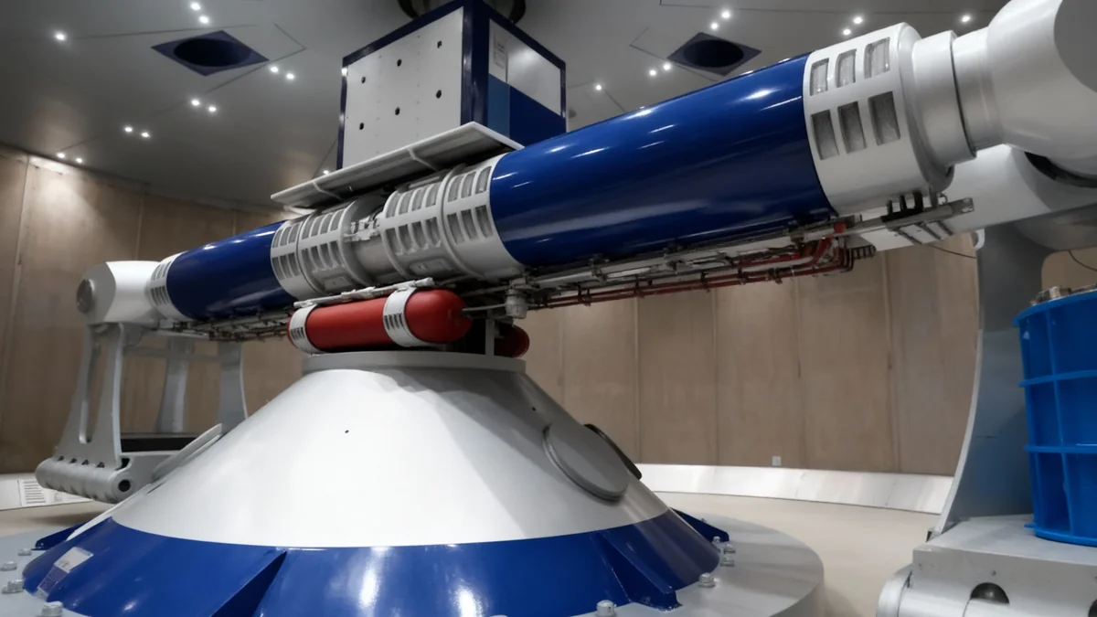
The primary role of SWFO-L1 is to serve as an advanced early warning system for Earth. The satellite is equipped with a suite of sophisticated instruments designed to monitor the sun's behavior and measure the solar wind, the stream of charged particles constantly flowing from the sun.
One of its key instruments is the Compact Coronagraph-2 (CCOR-2). A coronagraph is a specialized telescopic attachment designed to block out the direct light from the sun, allowing scientists to observe the much fainter solar corona. This capability is crucial for detecting coronal mass ejections (CMEs), which are massive eruptions of plasma and magnetic fields from the sun's surface.
"SWFO-L1 will give our forecasters at NOAA’s Space Weather Prediction Center the advanced tools they need to protect our country's vital infrastructure," said Irene Parker, deputy assistant administrator for systems at NOAA Satellite and Information Service. "This launch is not just about a new satellite; it's about building a more resilient future."
In addition to the coronagraph, other instruments onboard will take direct measurements of the solar wind. This data will help forecasters determine the intensity and potential impact of incoming solar storms with much greater accuracy than before.
Protecting Critical Infrastructure from Solar Storms
While often invisible to us on the ground, space weather can have severe consequences for our technologically dependent society. Intense solar storms can disrupt and damage essential systems that form the backbone of modern life.
Impacts of Severe Space Weather
- Power Grids: Solar storms can induce electrical currents in power lines, potentially overloading and damaging transformers, leading to widespread blackouts.
- GPS and Navigation: The signals from Global Positioning System (GPS) satellites can be distorted, affecting aviation, shipping, and everyday navigation.
- Communications: High-frequency radio communications used by airlines and emergency services can be disrupted.
- Satellites: The electronics on orbiting satellites can be damaged, affecting everything from weather forecasting to television broadcasting.
The data from SWFO-L1 will enable NOAA's Space Weather Prediction Center to issue alerts and warnings with more lead time. This allows operators of power grids, airlines, and satellite systems to take protective measures, such as re-routing flights, powering down sensitive equipment, or adjusting grid loads.
Richard Ullman, the deputy director of NOAA’s Office of Space Weather Observations, provided an analogy to explain the satellite's function. "If a CME were a hurricane, SWFO-L1’s coronagraph would act like our weather satellites that detect a storm's formation in the Atlantic," Ullman said. He added that the other instruments would act like hurricane hunter aircraft, measuring the storm's intensity before it makes landfall.
A Partnership for Space Science and Safety
The SWFO-L1 mission is a product of a long-standing partnership between NOAA and NASA. While NOAA is responsible for managing the mission and its operational goals, NASA's Goddard Space Flight Center oversaw the development and construction of the observatory to meet NOAA's specifications.
This collaboration also extends to the launch itself. By sharing a ride on the same Falcon 9 rocket, NOAA and NASA significantly reduced the cost of sending their respective missions into space. This rideshare approach is an increasingly common strategy for making space science more economically efficient.
"Today’s successful launch of SWFO-L1 demonstrates NOAA’s continued commitment to advancing America’s observation capabilities in space," stated Juan Caro, deputy assistant administrator of commerce for international and space affairs. "We are proud to be the global leader in space weather prediction technologies."
Once the mission is active, NOAA will manage satellite operations from its facility in Suitland, Maryland. The crucial space weather data will be processed in Boulder, Colorado, at the Space Weather Prediction Center. From there, it will be distributed to users across the United States and internationally, with a permanent archive maintained by NOAA's National Centers for Environmental Information.