NASA-ISRO Satellite Transmits First High-Resolution Earth Images
The joint NASA-ISRO satellite, NISAR, has transmitted its first high-resolution radar images of Earth, offering a preview of its Earth-monitoring capabilities.

Isaac Thorne is an Earth science correspondent for Archeonis, specializing in climate technology, satellite remote sensing, and environmental monitoring. He reports on technological advancements used to understand and address global climate change.

The joint NASA-ISRO satellite, NISAR, has transmitted its first high-resolution radar images of Earth, offering a preview of its Earth-monitoring capabilities.

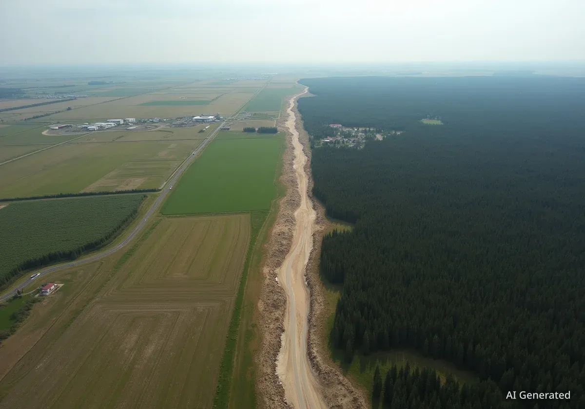
A powerful supercell thunderstorm in Alberta, Canada, created a 125-mile-long scar on the landscape that is visible from space, causing widespread damage.

NASA's experimental GUARDIAN system successfully detected a tsunami in the Pacific, providing a 30-40 minute warning by analyzing atmospheric disturbances.

The advanced MethaneSAT satellite is presumed lost after losing contact, but not before it collected enough data to map methane emissions from nearly 1,000 sites.