NASA has successfully demonstrated an experimental system that tracks tsunamis in real time by observing their effects on Earth's upper atmosphere. Following a major earthquake off the coast of Russia on July 29, the technology provided a warning 30 to 40 minutes before the resulting tsunami waves reached coastal areas, including Hawaii.
The system, known as GUARDIAN, represents a new method for monitoring these natural disasters. By using existing satellite navigation signals, it offers a space-based layer of observation that complements traditional ocean-based detection tools like buoys and seismic sensors.
Key Takeaways
- NASA's GUARDIAN system detected a tsunami after a magnitude 8.8 earthquake near Russia's Kamchatka Peninsula.
- The technology provided a 30-40 minute advance warning before waves reached Hawaii and other coastal sites.
- GUARDIAN works by measuring atmospheric pressure waves created by the tsunami that disturb satellite signals in the ionosphere.
- This method can detect a developing tsunami within 20 minutes of an earthquake and process the data in about 10 minutes.
A New Approach to Tsunami Detection
NASA's experimental technology, the GNSS Upper Atmospheric Real-time Disaster Information and Alert Network (GUARDIAN), operates on a unique principle. Instead of measuring the water directly, it monitors the air above the ocean.
When a large underwater earthquake displaces a massive volume of water, it creates a tsunami. This surge of water pushes the air above it upward, generating pressure waves that travel through the atmosphere. These waves are invisible and harmless, but they travel all the way to the ionosphere, a region of Earth's atmosphere that begins about 50 miles (80 kilometers) above the surface.
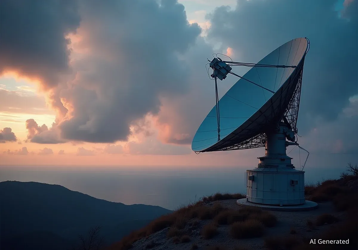
This is where global navigation satellite systems (GNSS), such as the familiar GPS, come into play. Satellites in orbit constantly send signals down to receivers on the ground. As these signals pass through the ionosphere, the atmospheric pressure waves from the tsunami cause slight distortions, bending the satellite signals.
The GUARDIAN system's ground-based network is designed to detect these minute changes. By analyzing the distorted signals, scientists can identify the signature of a tsunami moving across the ocean long before it reaches land.
Understanding the Ionosphere
The ionosphere is a layer of the Earth's atmosphere filled with charged particles called ions and electrons. It is known for its ability to reflect radio waves, which is crucial for long-distance communication. Its sensitivity to disturbances from below, such as those from a tsunami, also makes it a valuable medium for remote sensing.
The July 29 Kamchatka Peninsula Event
On July 29, a powerful magnitude 8.8 earthquake occurred off the coast of Russia’s Kamchatka Peninsula, triggering a tsunami that traveled across the Pacific Ocean. This event provided a critical real-world test for the GUARDIAN system, which had received a significant software upgrade just one day prior.
Within approximately 20 minutes of the earthquake, GUARDIAN began detecting the atmospheric disturbances caused by the nascent tsunami. As the waves propagated across the vast expanse of the Pacific, the system continued to track their progress.
Crucially, the technology confirmed the tsunami's approach to Hawaii and other coastal locations about 30 to 40 minutes before the waves arrived. While the tsunami from this particular event was small and caused little damage, the test was a major success for the NASA team.
"Those extra minutes of knowing something is coming could make a real difference when it comes to warning communities in the path," said Siddharth Krishnamoorthy, a scientist at NASA's Jet Propulsion Laboratory (JPL), in a statement.
Enhancing Existing Warning Systems
Current tsunami warning systems rely heavily on a network of seismometers to detect earthquakes and DART (Deep-ocean Assessment and Reporting of Tsunami) buoys to confirm the presence of tsunami waves. While effective, this network has geographical limitations, with fewer buoys in some parts of the world.
GUARDIAN is not intended to replace these tools but to augment them. It provides an additional, independent source of data that can help officials make more informed decisions about issuing evacuation orders.
Speed and Efficiency
According to NASA, the GUARDIAN system is one of the fastest monitoring tools available. Once it receives the necessary satellite data, it can process the information and detect the atmospheric signature of a tsunami in as little as 10 minutes. This speed is vital when every second counts.
Christopher Moore, director of the National Oceanic and Atmospheric Administration (NOAA) Center for Tsunami Research, highlighted the system's potential.
"NASA’s GUARDIAN can help fill the gaps," Moore stated. "It provides one more piece of information, one more valuable data point, that can help us determine, yes, we need to make the call to evacuate."
The Future of Global Disaster Monitoring
The successful test of the GUARDIAN system marks a significant step forward in the use of space-based assets for natural disaster response. By leveraging the existing global infrastructure of GNSS satellites, this technology offers a cost-effective way to improve early warning capabilities worldwide.
While the data from GUARDIAN currently requires expert analysis, the project demonstrates the feasibility of using atmospheric monitoring for tsunami detection. Continued development could lead to a more automated and integrated system that provides faster and more reliable warnings to coastal communities around the globe.
The ability to track a tsunami in real time from its inception in the deep ocean provides a powerful new tool in the effort to protect lives and property from one of nature's most destructive forces. The data gathered from the Kamchatka event will be instrumental in refining the system and moving it closer to operational use.