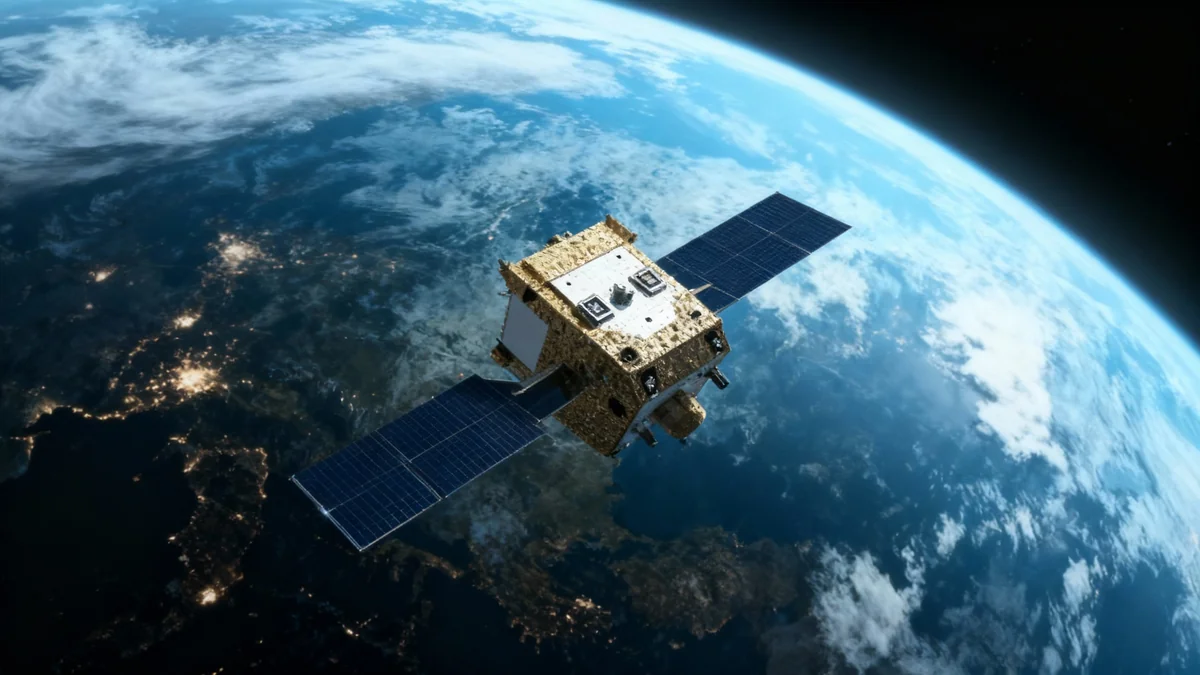
The NISAR satellite, a joint mission between NASA and the Indian Space Research Organisation (ISRO), has successfully transmitted its first radar images of Earth. These initial images provide a preview of the satellite's capability to monitor the planet's surface in unprecedented detail, with applications ranging from disaster management to agricultural tracking.
Launched on July 30, the spacecraft is now undergoing final preparations for its full science operations, which are scheduled to begin later this year. The mission represents a significant collaboration in space-based Earth observation.
Key Takeaways
- The NISAR satellite, a NASA-ISRO collaboration, has sent back its first Earth images.
- The satellite uses advanced L-band and S-band radar systems to observe land and ice surfaces.
- Initial images of Maine and North Dakota demonstrate the system's ability to differentiate between various land covers.
- NISAR will scan the entire Earth every 12 days, providing data for disaster response, agriculture, and infrastructure monitoring.
A New Perspective on Earth's Surface
The first set of images from the NISAR mission showcases the power of its advanced radar systems. The data was captured by the L-band synthetic aperture radar (SAR), an instrument provided by NASA's Jet Propulsion Laboratory (JPL) in Southern California. These initial captures are crucial for calibrating the satellite as it prepares for its primary science phase.
On August 21, the satellite focused on Mount Desert Island off the coast of Maine. The resulting image clearly distinguishes between different surface types. Water bodies appear as dark areas, forested regions are shown in green, and hard surfaces like buildings and bare ground are highlighted in magenta. The detail is sharp enough to identify small waterways and islets.
Two days later, on August 23, NISAR captured data over northeastern North Dakota. This image revealed agricultural landscapes, with forests and wetlands along the Forest River clearly visible. The radar data could differentiate between fallow fields (darker plots) and those with active crops like soybean and corn (lighter plots). The image also showed circular patterns characteristic of center-pivot irrigation systems.
The Significance of International Collaboration
The NISAR mission is a landmark partnership between the United States and India. According to NASA officials, the successful capture of these first images demonstrates how international collaboration can achieve significant scientific goals for the benefit of all nations.
The Technology Behind the Images
NISAR is the first satellite observatory to use two different radar frequencies, L-band and S-band, to measure changes in our planet's surface. This dual-frequency capability provides a comprehensive view of Earth's land and ice.
NASA's L-Band System
The L-band radar, developed by NASA, uses a 25-centimeter (10-inch) wavelength. This longer wavelength allows the radar signal to penetrate through forest canopies to measure soil moisture below. It is also highly effective at detecting subtle movements of the Earth's surface.
This capability is critical for studying phenomena like earthquakes, volcanic eruptions, and landslides. The system can measure land surface motion down to fractions of an inch, providing vital data for understanding and potentially predicting geological events. The resolution of the L-band system can identify objects as small as 15 feet (5 meters).
"These initial images are just a preview of the hard-hitting science that NISAR will produce — data and insights that will enable scientists to study Earth’s changing land and ice surfaces in unprecedented detail while equipping decision-makers to respond to natural disasters and other challenges," said Nicky Fox, associate administrator of NASA's Science Mission Directorate.
ISRO's S-Band System
The S-band radar was provided by ISRO’s Space Applications Centre. It operates with a shorter 10-centimeter (4-inch) microwave signal. This frequency is more sensitive to smaller vegetation, making it particularly useful for monitoring certain types of crops and grasslands.
By combining data from both the L-band and S-band systems, scientists will gain a more complete picture of ecosystem changes, agricultural productivity, and the global carbon cycle. This dual-system approach is a unique feature of the NISAR mission.
Mission Operations and Future Goals
Following its launch, the NISAR satellite was carefully maneuvered into its operational orbit at an altitude of 464 miles (747 kilometers) in mid-September. A key milestone was the deployment of its massive antenna reflector, which measures 39 feet (12 meters) across. This is the largest reflector of its kind that NASA has ever launched into space.
NISAR by the Numbers
- Orbit Altitude: 747 kilometers (464 miles)
- Global Scan Frequency: Once every 12 days
- Antenna Reflector Size: 12 meters (39 feet) in diameter
- L-Band Wavelength: 25 centimeters (10 inches)
- S-Band Wavelength: 10 centimeters (4 inches)
With the satellite in its final orbit and the initial images successfully received, the mission team is now focused on preparing for the start of the science phase in November. During this phase, NISAR will systematically map the Earth's land and ice surfaces, creating a rich dataset for scientists worldwide.
The data will support a wide range of applications. For disaster response teams, NISAR can provide rapid assessments of damage from earthquakes, floods, and volcanic eruptions. For agricultural management, it will track crop health and soil moisture, aiding in food security efforts. The mission will also monitor infrastructure, helping to identify potential weaknesses in bridges, dams, and levees.
A Partnership for Global Science
The NISAR mission is the result of years of close collaboration between NASA and ISRO. Each agency contributed key components to the project, showcasing a strong international partnership in space exploration and Earth science.
ISRO provided the spacecraft bus, the S-band radar, the launch vehicle, and launch services. ISRO's global network of ground stations is also managing key operational phases, including the deployment of the radar antenna.
NASA, led by JPL, provided the L-band radar system, the large antenna reflector, and a high-rate communication subsystem for transmitting the science data back to Earth. NASA's Goddard Space Flight Center manages the network that receives the L-band data.
This joint effort is expected to produce a wealth of information that will enhance our understanding of the Earth system and provide actionable data to address some of the planet's most pressing challenges.


