
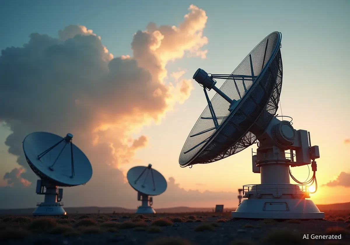


The European Space Agency (ESA) has successfully expanded its Earth observation capabilities with the launch of the Copernicus Sentinel-1D satellite. The satellite lifted off from Europe’s Spaceport in French Guiana on November 4, 2025, carried by an Ariane 6 rocket.
This new addition to the Sentinel-1 mission is set to improve global monitoring for disaster response, environmental protection, and maritime security, providing critical data regardless of weather conditions or time of day.
Key Takeaways
- The Copernicus Sentinel-1D satellite was successfully launched on November 4, 2025, at 22:02 CET.
- It will operate in tandem with the Sentinel-1C satellite, doubling the coverage of the Sentinel-1 mission.
- The satellite is equipped with advanced radar and ship-tracking technology to provide all-weather, day-and-night Earth imaging.
- Data from the mission is crucial for disaster management, climate science, and maritime surveillance.
Successful Launch Boosts Global Monitoring Network
The European Space Agency confirmed a successful launch for its latest Earth-monitoring satellite, Sentinel-1D. The mission, designated VA265, began at 18:02 local time from the spaceport in French Guiana, with the Ariane 6 launcher performing as expected to deliver its payload into orbit.
Sentinel-1D is the latest component of the Copernicus program, a joint initiative between the ESA and the European Union. The program aims to provide a continuous and reliable stream of environmental data from space, which is made freely available to public authorities, scientists, and commercial users.
This launch marks a significant step in strengthening the resilience of the Sentinel-1 mission, ensuring data continuity for the many services that depend on it.
A Tandem Mission for Unprecedented Coverage
Sentinel-1D will not operate alone. It is designed to work as a pair with its predecessor, Sentinel-1C. The two satellites will fly in the same orbit but will be positioned 180 degrees apart from each other.
What is Orbital Phasing?
By placing Sentinel-1D and Sentinel-1C on opposite sides of the same orbital path, the ESA effectively cuts the time it takes to revisit and image any given point on Earth. This orbital configuration doubles the frequency of observations, providing a more dynamic and up-to-date picture of our planet's surface.
This strategic pairing will optimize global coverage and significantly shorten the time required to deliver data. For services that rely on timely information, such as emergency response teams monitoring floods or oil spills, this increased frequency is critical.
The combined effort of the two satellites will provide a comprehensive and more frequent dataset, enhancing the ability of researchers and authorities to track changes on Earth's surface with greater precision.
The Technology Powering Sentinel-1D
At the heart of Sentinel-1D's capabilities is its advanced instrumentation, designed to see through clouds, rain, and darkness.
C-Band Synthetic Aperture Radar (SAR)
The primary instrument on board is a C-band synthetic aperture radar, or SAR. Unlike traditional optical satellites that require daylight and clear skies, SAR actively sends out microwave pulses and records the echoes that bounce back from Earth’s surface.
This technology allows the satellite to generate high-resolution images day and night, in all weather conditions. It is particularly effective for monitoring sea ice, tracking land subsidence, and mapping areas affected by natural disasters like earthquakes and floods.
Enhanced Maritime Surveillance with AIS
In addition to its radar, Sentinel-1D is equipped with an Automatic Identification System (AIS) instrument. AIS is a tracking system used on ships to identify and locate vessels.
By integrating AIS data with its radar imagery, Sentinel-1D can provide a more complete picture of maritime activity. This dual-data approach improves the detection and tracking of ships, which is vital for:
- Monitoring shipping lanes
- Enforcing fishing regulations
- Combating illegal activities at sea
- Supporting search and rescue operations
The addition of Sentinel-1D will lead to more frequent AIS observations, enabling more precise tracking of vessel identity, location, and direction of travel.
Broad Applications for a Changing Planet
The data collected by the Sentinel-1 mission serves a wide range of applications that benefit citizens across Europe and the world. Disaster response teams use the imagery to assess damage and coordinate relief efforts after events like hurricanes or wildfires.
"The Sentinel-1 mission delivers high-resolution radar images of Earth’s surface, performing in all weathers, day-and-night. This service is used by disaster response teams, environmental agencies, maritime authorities and climate scientists, who depend on frequent updates of critical data."
Environmental agencies rely on the data to monitor deforestation, track changes in glaciers and ice sheets, and measure soil moisture for agricultural purposes. Climate scientists use the long-term data archive to understand the impacts of a warming planet.
With Sentinel-1D now in orbit, the Copernicus program is better equipped to continue its mission of providing the essential information needed to manage our environment and protect lives and infrastructure on Earth.