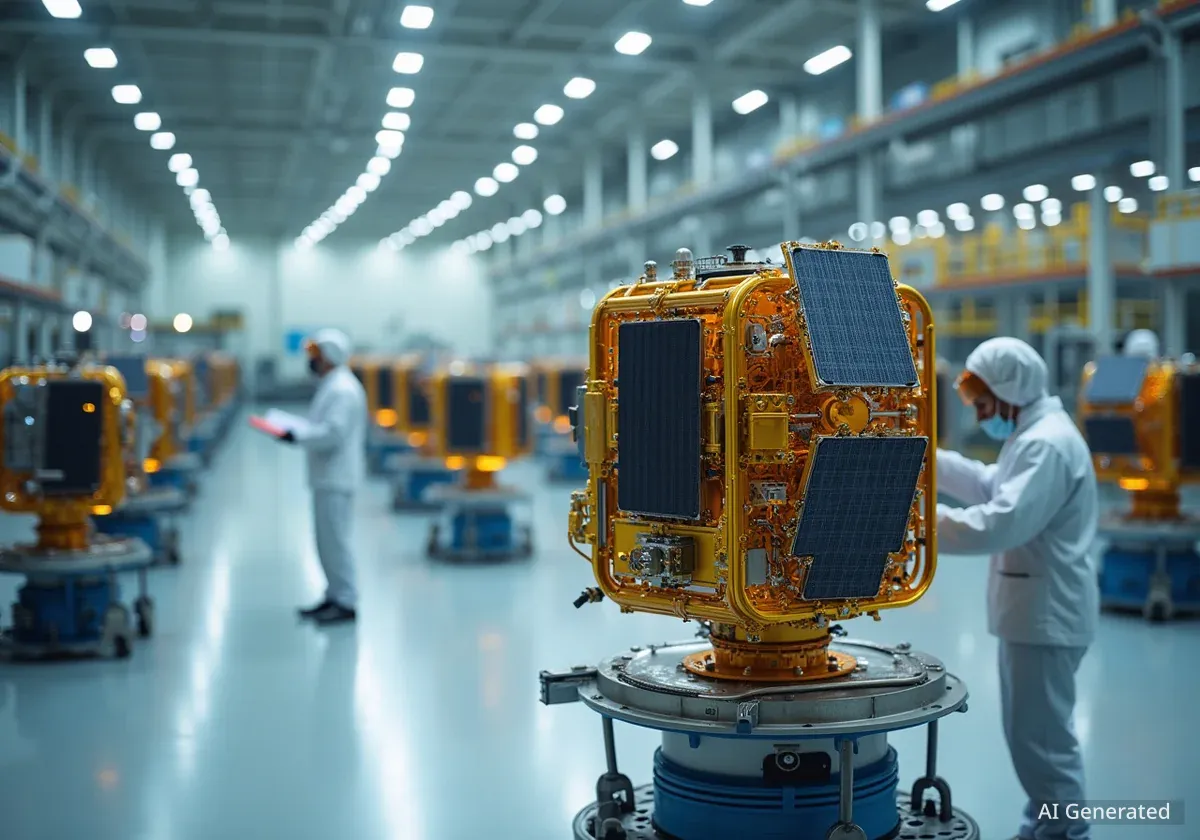
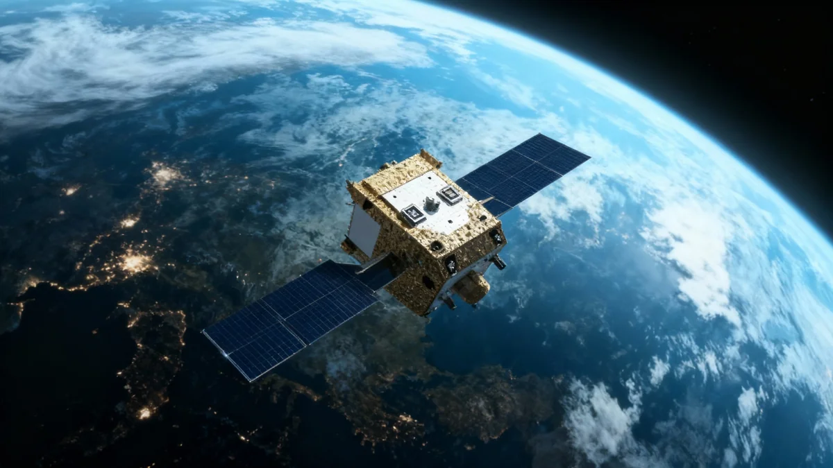
Geovis Insighter Technology Co. Ltd., a publicly traded Chinese company, has announced plans to deploy a large constellation of 144 satellites dedicated to space situational awareness (SSA). The project aims to monitor objects in low-Earth orbit and will begin with the launch of two experimental satellites in April.
The announcement was made by Dan Luo, the company's executive vice president, at the International Astronautical Congress in Sydney. This move marks a significant expansion for Geovis Insighter, transitioning from a government software provider to a commercial data supplier in the increasingly crowded near-Earth space environment.
Key Takeaways
- Geovis Insighter Technology plans a 144-satellite constellation for space situational awareness (SSA).
- The initial launch of two experimental satellites is scheduled for April, with 12 more planned by the end of 2026.
- The constellation will operate in two distinct orbital regions: standard low-Earth orbit (LEO) and very low Earth orbit (VLEO).
- The company, which previously developed SSA software for the Chinese government, will now offer data services to commercial clients.
- This initiative aligns with China's broader strategy to develop a national space traffic management system.
A Phased Approach to Orbital Monitoring
The deployment of the 144-satellite network will occur in stages. The initial phase focuses on establishing a foundational presence in a specific orbital band. This careful, step-by-step process allows the company to test and refine its technology before committing to the full constellation.
Initial Deployment and Timeline
According to Dan Luo, the first two test satellites are set for an April launch. These will be followed by an additional 12 operational satellites by the close of 2026. This first wave of spacecraft will be placed into a 1,200-kilometer altitude orbit.
From this vantage point, the satellites are designed to observe and track space objects orbiting at altitudes ranging from approximately 300 to 2,000 kilometers, a region that hosts a vast number of active satellites and debris fragments.
What is Space Situational Awareness?
Space situational awareness (SSA) is the practice of tracking objects in orbit and predicting their future positions. This includes active satellites, defunct spacecraft, rocket stages, and small debris. Effective SSA is critical for preventing collisions, ensuring the safety of space operations, and managing the orbital environment.
Innovative Dual-Orbit Strategy
A key feature of Geovis Insighter's plan is the use of two different orbital altitudes for its constellation. This dual-layer approach is designed to provide comprehensive coverage of the most congested areas of near-Earth space.
Monitoring from Above and Below
While the initial satellites will operate from a 1,200-kilometer orbit, subsequent satellites will be deployed into very low Earth orbit (VLEO). Operating in VLEO, which is typically below 300 kilometers, presents significant technical challenges due to increased atmospheric drag.
"Operating satellites in VLEO will cost a lot of fuel, but we are going to observe objects in much lower orbits," Luo explained, highlighting the trade-off between operational cost and enhanced observational capability.
This strategy will allow the constellation to monitor a segment of space that is difficult to observe from higher altitudes, providing a more complete picture of orbital traffic and potential hazards.
Geovis Insighter Technology at a Glance
- Founded: 2006
- Public Listing: Shanghai Stock Exchange in 2024
- Previous Focus: Developing SSA software for government clients in China.
- New Direction: Providing commercial SSA data services to a global market.
China's Broader Space Traffic Coordination Efforts
The Geovis Insighter constellation is part of a larger national effort by China to establish a robust framework for space traffic coordination (STC). During the same conference, experts outlined China's evolving policy, which emphasizes communication and data sharing among operators.
A Call for Transparency and Trust
Yuqi Shen, a PhD candidate at the Beijing Institute of Technology, stated that China's approach favors direct communication between satellite operators over the creation of new international treaties. This method relies heavily on building trust and interoperability between different national systems.
"We need to increase transparency and information sharing, and we need to improve international interoperability of space traffic coordination systems," Shen said. "Ultimately, it depends on trust and how national systems communicate with each other."
China is in the process of creating a national space traffic management system. The goal is for this system to contribute valuable data to international coordination efforts, improving safety for all space-faring nations.
Addressing Legal and Technical Gaps
Despite progress, challenges remain in China's STC framework. Shen noted that key issues still need to be addressed, including:
- Defining Essential Information: Establishing clear standards for what data operators must share for effective coordination.
- Assessing Intent: The difficulty in determining the purpose of satellite maneuvers, as many actions can have both civilian and military interpretations.
- Data Distribution Rules: Clarifying the legal rules for how space traffic data is shared and used.
China has also demonstrated technical expertise in debris management. Shen cited the Shijian-21 satellite mission, which successfully towed a defunct Beidou-2 G2 navigation satellite into a higher, less crowded graveyard orbit, as a key example of the country's capabilities in active debris removal.

