

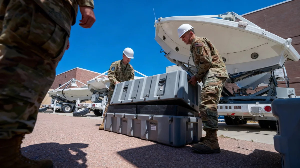


The United States Space Force has awarded a significant contract to Vantor, the company formerly known as Maxar Intelligence, to enhance its ability to monitor objects in orbit. The agreement, announced on October 22, 2025, focuses on providing advanced space-to-space imaging capabilities, a critical tool for maintaining situational awareness in an increasingly congested orbital environment.
Under the terms of the new partnership, Vantor will supply high-resolution imagery and detailed analysis of space-based objects. This service, known as non-Earth imaging (NEI), allows for the tracking of satellites and other assets that are difficult or impossible to observe using traditional ground-based sensors.
Key Takeaways
- The U.S. Space Force has awarded a contract to Vantor for non-Earth imaging (NEI) services.
- Vantor, formerly Maxar Intelligence, will provide high-resolution, space-to-space imagery of orbital objects.
- The technology is designed to track assets that are not visible to ground-based sensor networks.
- The service includes imagery and in-depth analysis of object orientation, velocity, and status.
A New Era of Space Surveillance
The contract marks a strategic move by the Space Force to address the growing challenges of space domain awareness. As the number of satellites in orbit continues to rise, the ability to accurately track and identify objects becomes paramount for national security and the safety of space operations.
Traditional methods of space surveillance rely heavily on a global network of ground-based radar and optical telescopes. While effective, these systems have limitations. They can be affected by weather conditions, geographic location, and the simple fact that they can only observe objects when they pass overhead.
Non-Earth imaging overcomes these hurdles by using satellites to photograph other satellites. This provides a persistent, on-demand view of high-interest objects regardless of their position relative to Earth.
The Vantor Advantage
Vantor has established itself as a leader in this specialized field. The company leverages a fleet of sophisticated imaging satellites capable of capturing detailed pictures of other objects moving at orbital speeds. These are not simple snapshots; the data collected can reveal crucial information about a satellite's condition and behavior.
What is Non-Earth Imaging (NEI)?
Non-Earth Imaging, or space-to-space imaging, involves using a satellite in orbit to take pictures of another object in orbit. This technique provides a unique vantage point that is impossible to achieve from the ground, allowing for detailed inspection and monitoring of space assets.
The company has developed proprietary software specifically for this purpose. The system helps plan imaging collections and analyzes the resulting data to provide actionable intelligence. For instance, an image can help determine a satellite's orientation, velocity, and whether its antennas or solar panels are correctly deployed.
Enhancing National Security in Orbit
For the U.S. Space Force, this capability is more than a technical novelty; it is a strategic necessity. Understanding the activities of other nations' satellites is a core component of modern defense. The ability to monitor a satellite that is maneuvering unexpectedly or approaching a U.S. asset provides critical warning and response time.
This partnership provides the Space Force with a powerful new tool for monitoring the space domain, ensuring the safety and security of vital national assets in an increasingly complex environment.
The data from Vantor will help the military branch identify potential threats, verify the status of its own satellites, and maintain a comprehensive catalog of objects in orbit. This is particularly important for tracking objects in geosynchronous orbit (GEO), located approximately 36,000 kilometers above the Earth, where many critical communication and missile-warning satellites operate.
The Challenge of a Crowded Orbit
Space is becoming increasingly congested. Thousands of active satellites, along with a much larger amount of space debris, orbit the Earth. This creates a challenging environment where the risk of collision is real. Advanced tracking capabilities are essential to prevent accidents and protect valuable space infrastructure.
The contract allows the Space Force to task Vantor's satellites to observe specific targets of interest. This flexible approach ensures that military operators can get timely information when they need it most, without having to rely solely on government-owned assets.
Broader Implications for the Space Industry
This agreement between the Space Force and a commercial provider highlights a growing trend in the space sector. Government agencies are increasingly turning to private companies for services that were once the exclusive domain of national programs.
This public-private partnership model offers several advantages:
- Cost-Effectiveness: Leveraging existing commercial infrastructure is often more affordable than developing and launching dedicated government systems.
- Innovation: Commercial companies are often at the forefront of technological development, providing access to the latest capabilities.
- Resilience: Using a diverse set of commercial providers enhances the resilience of national space capabilities, making them less vulnerable to disruption.
The contract with Vantor demonstrates the maturity of the commercial space imaging market. It signals that private companies can now provide services that meet the demanding requirements of national security missions. As the space economy continues to grow, such collaborations are expected to become even more common, fostering a robust and competitive industry while strengthening national capabilities.