

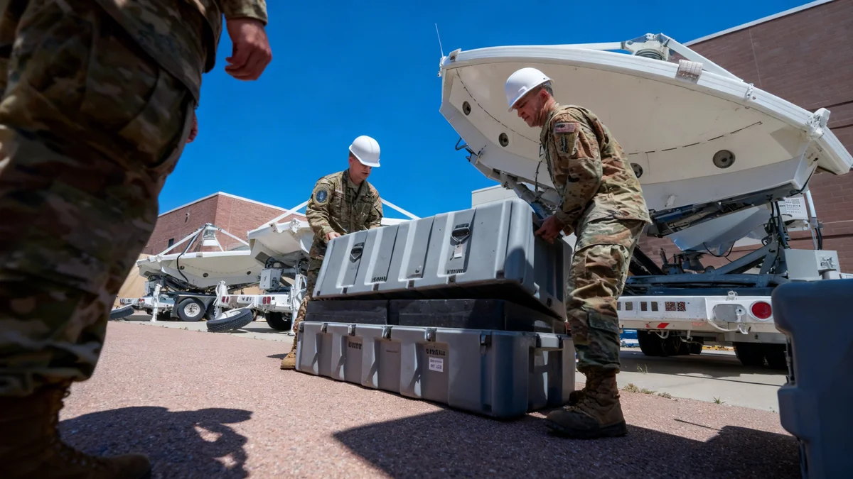


The U.S. Space Force has contracted satellite imaging company Vantor to monitor orbital activities, establishing a “neighborhood watch” in an increasingly congested and contested space environment. The agreement leverages Vantor's existing commercial satellite fleet to track potential threats, including rogue satellites and space debris, that may elude ground-based detection systems.
This initiative comes as military officials express growing concern over the on-orbit capabilities demonstrated by nations like China and Russia. Vantor will repurpose its Earth-imaging satellites to provide space-to-space surveillance, offering a new layer of security for vital U.S. assets in low Earth orbit.
Key Takeaways
- Vantor, formerly Maxar Intelligence, will use its commercial satellites to monitor space for the U.S. Space Force.
- The program aims to identify threats like hostile satellites and debris in low Earth orbit.
- The initiative responds to increased military maneuvers in space by China and Russia.
- Vantor will adapt its existing fleet of 10 satellites for this new surveillance mission.
A New Watch in a Crowded Orbit
The U.S. Space Force is enhancing its ability to monitor activities in low Earth orbit (LEO), an area extending from approximately 99 to 1,200 miles above the planet. The partnership with Vantor is designed to provide what company officials describe as a “neighborhood watch” to protect American satellites.
Susanne Hake, Vantor’s general manager for U.S. government affairs, confirmed the program will utilize the company's current on-orbit assets. “We have 10 satellites, 7 of which can collect space-to-space imagery, also called non-Earth imagery,” she stated. This approach allows the military to gain new surveillance capabilities without the time and expense of launching a dedicated satellite constellation.
The financial terms of the contract were not made public. The focus of the mission is to provide persistent monitoring to detect and characterize objects and their behavior in space.
What is Low Earth Orbit?
Low Earth orbit (LEO) is the most heavily used orbital region. It is home to the International Space Station, thousands of communication and imaging satellites, and a growing amount of space debris. Its proximity to Earth makes it ideal for high-resolution imaging and low-latency communications, but also makes it a prime location for potential orbital conflicts.
Repurposing Commercial Technology for Defense
Vantor's core business has traditionally been high-resolution imaging of the Earth's surface. However, the company has developed a method to pivot its satellites to observe other objects in space. This dual-use capability is a significant shift, turning commercial assets into tools for space situational awareness.
The company's satellites are capable of imaging objects in LEO with remarkable detail. According to Hake, the constellation can achieve resolutions of less than 6 inches and has successfully imaged objects as small as 9.5 inches (24 cm). This level of precision is crucial for identifying the nature and intent of other satellites, such as detecting potential weapons or unusual maneuvers.
Vantor's Imaging Capabilities
- Resolution: Less than 6 inches in LEO.
- Smallest Object Imaged: 9.5 inches (24 cm).
- Fleet Size: 10 satellites, with 7 capable of space-to-space imaging.
These capabilities are enabled by software updates that can be sent to the satellites from the ground, allowing Vantor to adapt its fleet's mission without physical modifications.
Responding to a Changing Space Environment
The need for this orbital surveillance has been driven by a marked increase in sophisticated in-space operations by other countries. Military leaders have pointed to specific instances that suggest a weaponization of space is already underway.
U.S. Space Force Chief Gen. Chance Saltzman testified before lawmakers in March 2023 that China is actively testing on-orbit systems with the potential to be weaponized. He noted these systems have demonstrated the ability to physically control and move other satellites.
“China was also testing on-orbit satellite systems, which could be weaponized as they have already shown the capability to physically control and move other satellites.” - Gen. Chance Saltzman, U.S. Space Force Chief
Similarly, U.S. Space Command reported in July 2020 that Russia was conducting tests of a space-based anti-satellite weapon. More recently, in March 2024, Space Force Vice Chief Gen. Michael Guetlein warned that China is now rehearsing advanced military maneuvers in space, which he described as “dog fighting.” These developments have created an urgent demand for better space intelligence.
The Future of Orbital Surveillance
Vantor is now focused on scaling its new service. The company is working to implement automation to increase the speed and volume of its space-based collections.
The goal is to significantly boost the rate of observation to provide near-real-time intelligence. “We’re aiming to collect as many as 1,000 [non-Earth] images a day,” Hake explained. This high volume of data is intended to give military commanders a constantly updated picture of the orbital environment.
Data delivery speed is another critical component. Vantor reports that most imagery can be delivered to the government in less than four hours, with many collections arriving within 90 minutes. This rapid turnaround is essential for responding to fast-moving threats in orbit.