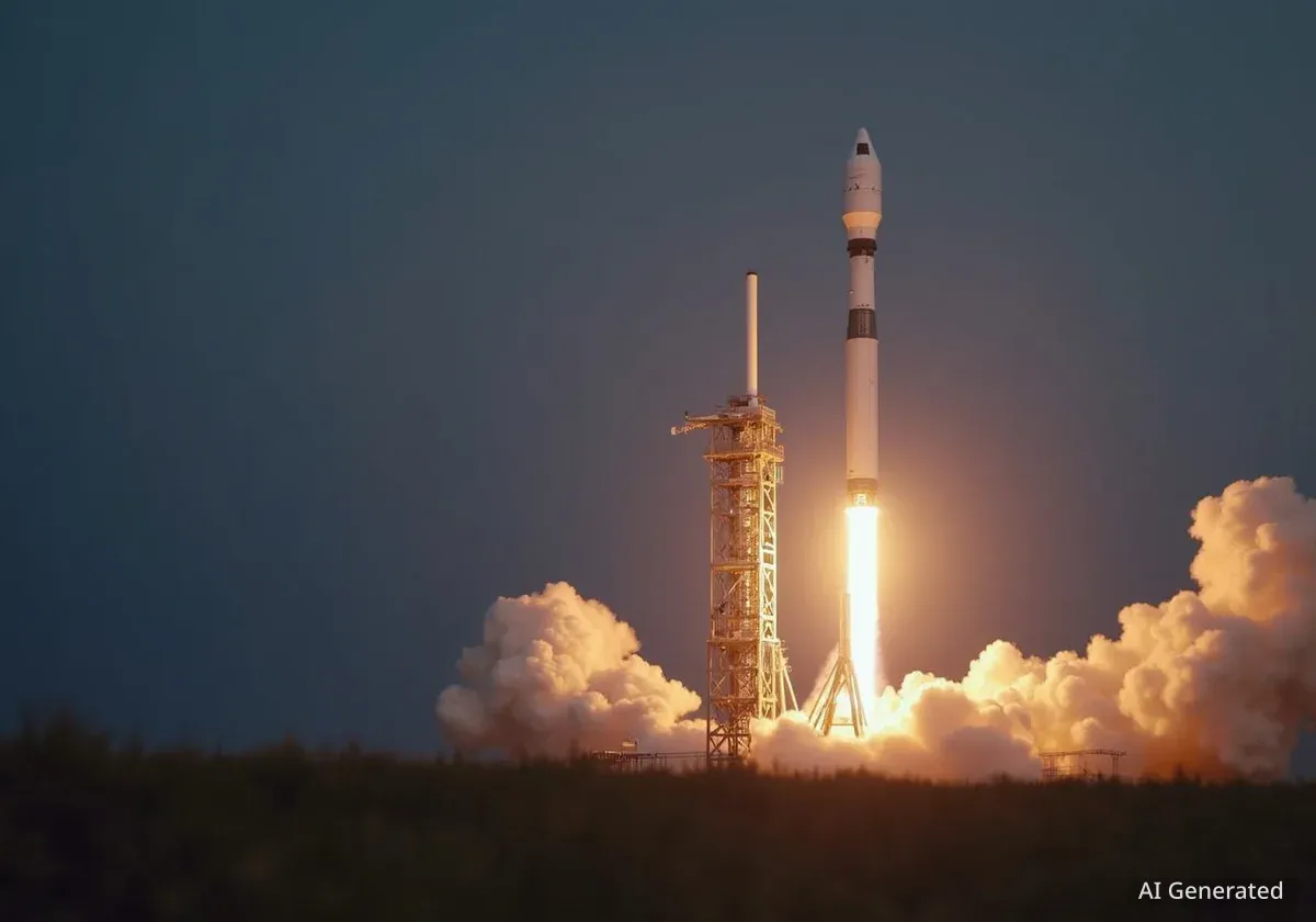
NASA and SpaceX have announced a brief delay for a significant mission designed to study space weather. The launch, which involves a trio of specialized satellites, was rescheduled from Tuesday to Wednesday, now targeting a 7:30 a.m. ET liftoff. This multi-part mission aims to provide unprecedented data on solar wind, Earth's atmosphere, and the boundary of our solar system.
Key Takeaways
- Launch Rescheduled: The joint NASA and SpaceX mission is now set for Wednesday at 7:30 a.m. ET, a short delay from its original Tuesday schedule.
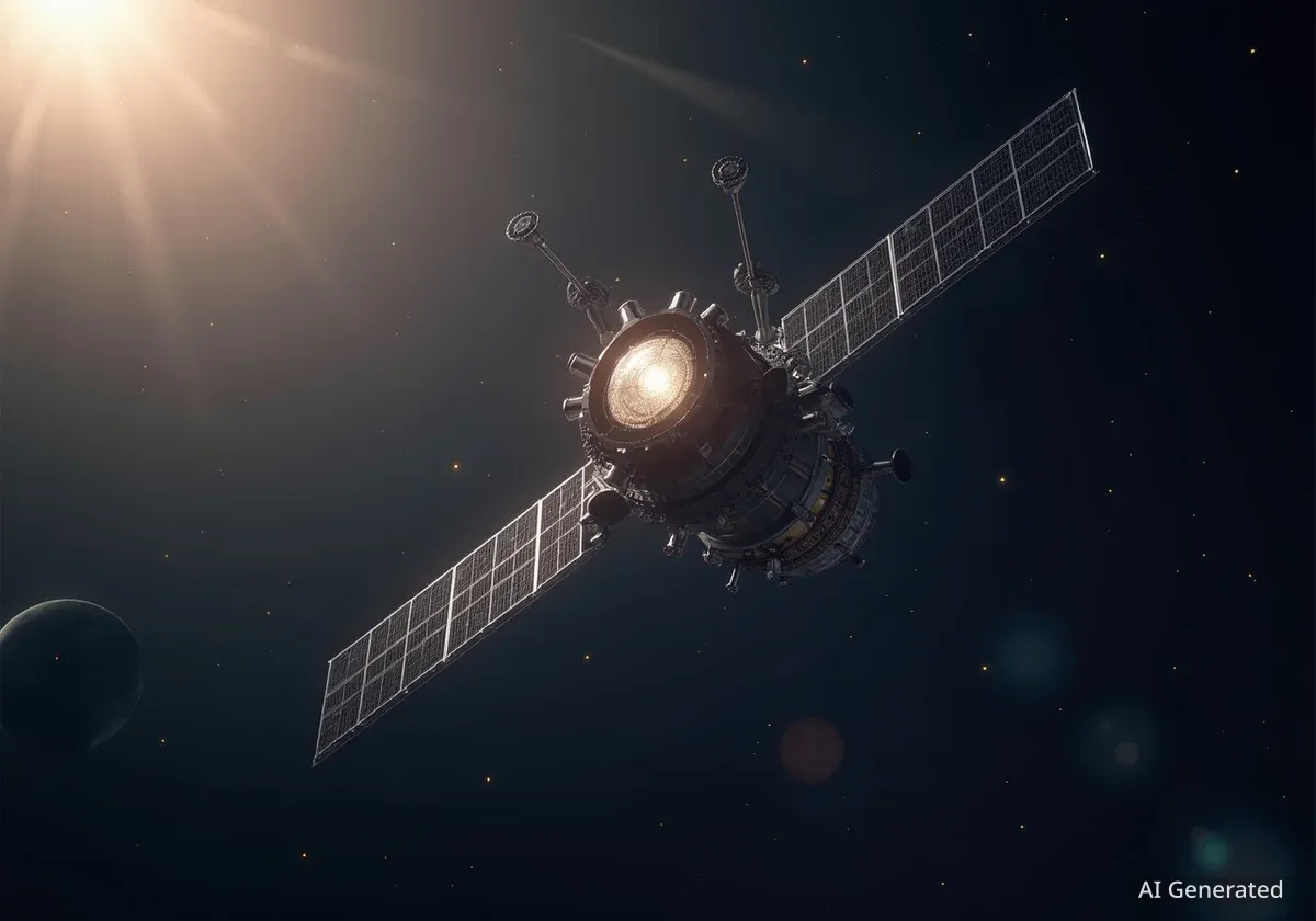
- Three Satellites: The payload includes NASA’s IMAP, the Carruthers Geocorona Observatory, and NOAA’s SWFO-L1 satellite.
- Mission Focus: The primary goal is to enhance our understanding of space weather, from its origins at the sun to its effects on Earth.
- Strategic Location: All three spacecraft will be positioned at Lagrange Point 1 (L1), a stable gravitational point between the Earth and the Sun.
Revised Schedule for Key Scientific Launch
Space exploration enthusiasts and scientists will need to wait just a few more hours for the next major space science launch. The mission, a collaboration between NASA and SpaceX, involves sending three distinct but complementary satellites into space aboard a single rocket. The new launch window on Wednesday morning allows teams to complete final checks for this complex deployment.
The payload is a comprehensive package for space weather analysis. It consists of the Interstellar Mapping and Acceleration Probe (IMAP), the Carruthers Geocorona Observatory, and the Space Weather Follow On – Lagrange 1 (SWFO-L1), which belongs to the National Oceanic and Atmospheric Administration (NOAA).
A Multi-Faceted Approach to Space Weather
The three satellites are designed to work in concert, providing a holistic view of the sun's influence on our planet and solar system. Dr. Nicola Fox, associate administrator for NASA’s Science Mission Directorate, described the powerful synergy of the mission.
"I kind of think about it as this sort of ultimate like space weather gang out there at the L1 point. IMAP, doing precision measurements of everything coming from the sun... Carruthers telling us about how our sort of planet’s atmosphere is responding to space weather, and then Swiffer providing that real time operational space weather," Fox stated.
This coordinated effort will allow scientists to track solar phenomena from their origin, through interplanetary space, and observe their ultimate impact on Earth's atmospheric boundary.
What is Space Weather?
Space weather refers to the changing conditions in space, primarily driven by the sun's activity. This includes solar wind (a constant stream of charged particles), solar flares (intense bursts of radiation), and coronal mass ejections (massive eruptions of plasma). These events can affect satellites, power grids, and communication systems on Earth, making accurate forecasting essential.
Mission Breakdown: The Role of Each Satellite
While united in purpose, each satellite has a highly specialized job. Their individual data streams will be combined to create a comprehensive model of the sun-Earth system.
IMAP: Mapping the Edge of the Solar System
The primary instrument, NASA's IMAP, will act as an advanced solar observatory. It is tasked with studying the solar wind and the outer boundary of our solar system, an area known as the heliosphere.
"We’re really excited about that IMAP, the sort of main mission on that stack is going to be studying what is coming from the sun. So basically sitting and sensing everything that comes in the sun’s atmosphere toward the Earth,” explained Dr. Fox.
IMAP will provide much higher-resolution images of the solar system's boundary than was possible with previous missions like Voyager. This will give scientists a clearer picture of how our solar bubble interacts with the interstellar medium.
Carruthers Observatory: An Updated View of Earth's Atmosphere
The second satellite, the Carruthers Geocorona Observatory, will turn its focus back toward Earth. It is equipped with specialized cameras designed to analyze the geocorona, the outermost layer of our planet's atmosphere. This tenuous region of hydrogen atoms glows in ultraviolet light.
Remarkably, the best existing data on the geocorona comes from an instrument that flew on the Apollo 16 mission in 1972. Astronauts placed a camera on the lunar surface to capture images of this atmospheric layer, a record that the Carruthers Observatory is set to surpass.
SWFO-L1: NOAA's Operational Watchdog
The third component is NOAA's SWFO-L1 satellite. This spacecraft is a practical tool for everyday space weather forecasting. It will monitor for solar storms—eruptions from the sun that send electromagnetic waves and charged particles toward Earth.
When these storms interact with our magnetic field, they can create beautiful auroras but also pose significant risks. They have the potential to disrupt GPS signals, damage orbiting satellites, and even impact terrestrial power grids. SWFO-L1 will provide the real-time data needed to issue warnings for such events.
The Strategic Importance of Lagrange Point 1
All three satellites will travel to a unique location in space known as Lagrange Point 1, or L1. This point lies approximately 1.5 million kilometers (about 1 million miles) from Earth in the direction of the sun.
L1 is a point of gravitational equilibrium. An object placed there is held in a fixed position between the Earth and the Sun, caught in a balance between their gravitational pulls. This makes it an ideal observation post, offering an uninterrupted view of the sun and the incoming solar wind. It serves as an early-warning position, giving forecasters advance notice of solar activity heading our way.